Teplička
50+
Downloads

Everyone
info


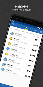


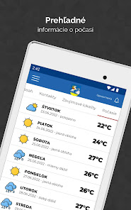


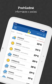

About this app
Teplička lies southeast of Spišská Nová Ves, about 5 km away, at the eastern foot of Ježová hora at an altitude of 555 m above sea level. The surface of the area is mountainous and consists of the last outcrops of the Volovské vrchy, which form a continuous chain of a large complex of the Slovak Ore Mountains. Teplička also includes a part of the village of Pod Tepličkou, also called Potok and the settlement of Šafárka.
Updated on
Safety starts with understanding how developers collect and share your data. Data privacy and security practices may vary based on your use, region, and age. The developer provided this information and may update it over time.

No data shared with third parties
Learn more about how developers declare sharing

No data collected
Learn more about how developers declare collection
What's new
Pilotná verzia aplikácie
App support
phone
Phone number
+421911321223


