
10K+
Downloads

Everyone
info


About this app
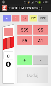
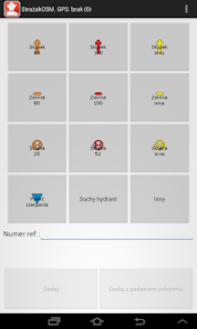
Mobile StrażakOSM is an essential tool in obtaining specific data by the OpenStreetMap project. With this app you can in a simple and intuitive way to collect information on the geographical location of fire hydrants by categories and types and kilometer posts of national, provincial, expressways and highways.
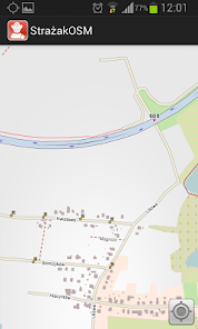
The collected data are sent to the server AbakusOSM where the verification and moderation are added to the database project OpenStreetMap. Application provides a map of the panel, which thanks to their current position widokowi and maps of the area can be verified on the basis of existing data hydrants and kilometer posts.
Required for proper operation of the GPS receiver is operational.
Instructions can be found at: http://mapa.abakus.net.pl/blog/?page_id=280
NOTE! The application is designed primarily for those dealing with the acquisition of data in OpenStreetMap.
All comments and suggestions should be sent to mapa@swdst.pl
Updated on
Safety starts with understanding how developers collect and share your data. Data privacy and security practices may vary based on your use, region, and age. The developer provided this information and may update it over time.

No data shared with third parties
Learn more about how developers declare sharing

No data collected
Learn more about how developers declare collection

Data is encrypted in transit

Data can’t be deleted
What's new
Oddajemy w Wasze ręce nową wersję aplikacji StrażakOSM 1.2:
- poprawki zgłaszanych błędów i optymalizacje
- poprawki zgłaszanych błędów i optymalizacje