Geodetic NET
Contains ads
1K+
Downloads

Everyone
info


About this app
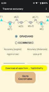
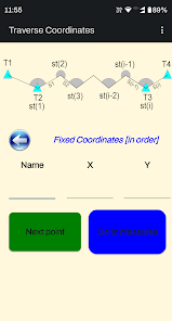
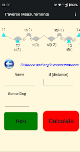
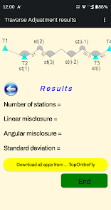
Geodetic NET created for adjustment Traverse using least squares method. The design is as simple as needed.
Angular units : gradians (default) or DD/MM/SS.SS
Languages : English / Greek
Great tool for land surveyors, civil engineers, topographers and land engineers.
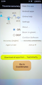
Download also our free applications:
"Surveying In the Field" from Google play
https://play.google.com/store/apps/details?id=com.Surveying.IntheField&hl=en
"Topography On the Fly" from Google play
https://play.google.com/store/apps/details?id=com.TopOgraphy.OntheFly&hl=en
"Topographia Classic" from Google play
https://play.google.com/store/apps/details?id=com.Topographia.Classic&hl=en
Don't forget to rate this app and send us a feedback.
Angular units : gradians (default) or DD/MM/SS.SS
Languages : English / Greek
Great tool for land surveyors, civil engineers, topographers and land engineers.
Download also our free applications:
"Surveying In the Field" from Google play
https://play.google.com/store/apps/details?id=com.Surveying.IntheField&hl=en
"Topography On the Fly" from Google play
https://play.google.com/store/apps/details?id=com.TopOgraphy.OntheFly&hl=en
"Topographia Classic" from Google play
https://play.google.com/store/apps/details?id=com.Topographia.Classic&hl=en
Don't forget to rate this app and send us a feedback.
Updated on
Safety starts with understanding how developers collect and share your data. Data privacy and security practices may vary based on your use, region, and age. The developer provided this information and may update it over time.

No data shared with third parties
Learn more about how developers declare sharing

No data collected
Learn more about how developers declare collection

Data is encrypted in transit

Data can’t be deleted


