
Sig Minef
500+
Downloads

Everyone
info

About this app
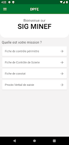
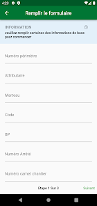
The MINEF GIS is a tool for decision support, coordination, monitoring, evaluation and consultation based on so-called open and restricted data available on the forest, fauna, flora and water resources. The SIG MINEF aims to contribute to the strengthening of good governance within the Ministry and to share the data collected transparently with the general public.
Updated on
Safety starts with understanding how developers collect and share your data. Data privacy and security practices may vary based on your use, region, and age. The developer provided this information and may update it over time.

No data shared with third parties
Learn more about how developers declare sharing

No data collected
Learn more about how developers declare collection