Topography assistant
500+
Downloads

Everyone
info


About this app
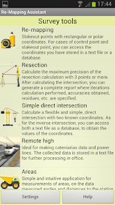
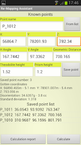
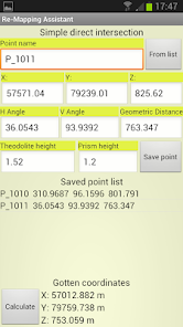
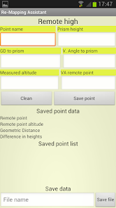
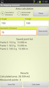
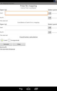
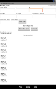
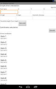
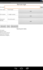
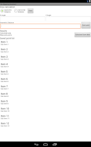
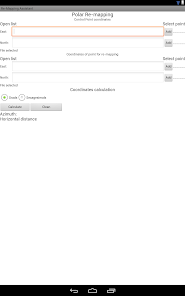
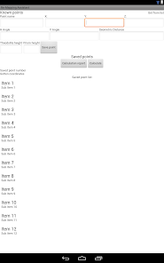
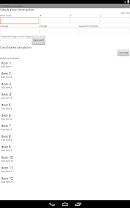
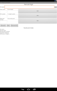
Application designed for surveying of all types, such as stakeout, measurement and calculation of areas with adjustable resections calculations and report calculations, direct intersections, remote height measurement, and ability to enter values for custom calculation.
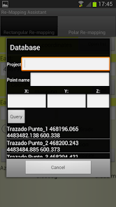
At any time you can access through the application itself, any text file we have on the phone's SD card, with data from our control points, points for staking, etc..
In the tool "area calculation" tool and "remote height", we record our work in a text file, easily manageable by any software tool.
At any time you can access through the application itself, any text file we have on the phone's SD card, with data from our control points, points for staking, etc..
In the tool "area calculation" tool and "remote height", we record our work in a text file, easily manageable by any software tool.
Updated on
Safety starts with understanding how developers collect and share your data. Data privacy and security practices may vary based on your use, region, and age. The developer provided this information and may update it over time.

No data shared with third parties
Learn more about how developers declare sharing

No data collected
Learn more about how developers declare collection


