100+
Downloads

Everyone
info


About this app
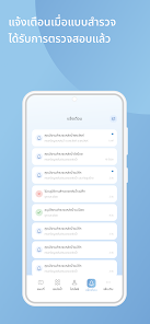
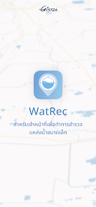
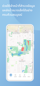
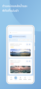
Application for measuring water levels From advanced geospatial technology to receive accurate and timely water level measurements. Stay informed about even the slightest water level changes. This ensures that you stay ahead of potential problems. Transform complex data into easy-to-understand graphs and trends. Shows images of changes in water levels over time. Helps you make informed decisions about water use. land management and more. Additionally, WatRec leverages state-of-the-art geospatial mapping to visualize water levels in various locations. Whether it's a single pond The ponds are connected together to form a network. or the entire basin WatRec's geospatial technology provides a comprehensive view for better insights. WatRec's intuitive interface ensures easy access and interpretation of water level data for users of all backgrounds. No technical expertise required, helping to make informed decisions regarding land use planning. construction projects and more with accurate insights into your property's water levels.
Updated on
Safety starts with understanding how developers collect and share your data. Data privacy and security practices may vary based on your use, region, and age. The developer provided this information and may update it over time.


App support
phone
Phone number
+6621414525


