みえ防災ナビ
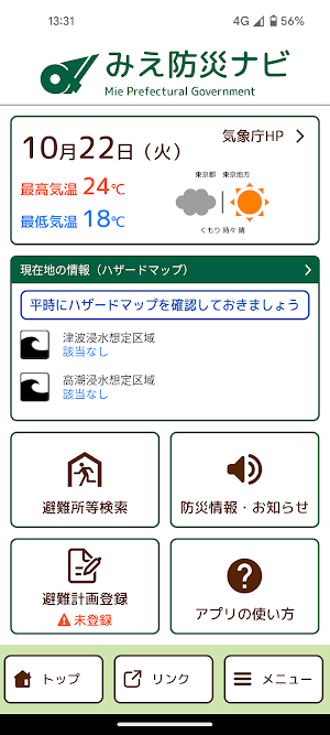
"Mie Disaster Prevention Navi" is the official app of Mie Prefecture. Evacuation centers and evacuation sites are displayed, and the AR camera function and evacuation compass function support evacuation actions in the event of a disaster.
About みえ防災ナビ
"Mie Disaster Prevention Navi" is the official app of Mie Prefecture.
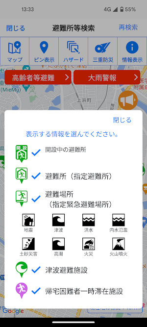
Designated evacuation shelters and designated emergency evacuation sites near your current location and details are displayed, and the AR camera function and evacuation compass function support evacuation actions in the event of a disaster.
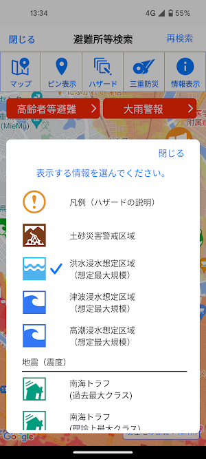
In addition, hazard maps such as landslide warning areas, flood inundation areas, tsunami inundation areas, etc. are displayed, so you can check the danger of your current location.
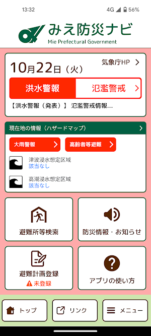
In addition, we will notify you of various disaster prevention information such as evacuation information and weather warnings through push notifications.
"Mie Disaster Prevention Navi" can be used not only in Mie Prefecture but all over the country, and the map display can be used even when offline.
[Main functions]
・Automatic search for designated evacuation shelters and designated emergency evacuation sites near your current location
・Display of hazard maps such as landslide warning areas, flood predicted areas, etc.
・Display of disaster prevention information and danger information for your current location
・Evacuation compass function
・Offline function
・Push notification and list display of disaster prevention information
Similar Apps

Prévi+
Your weather forecast, plus expertise
Weather Now
Access Accurate Forecasts with Local Weather, Wind Speed, Temperature, Humidity!
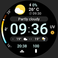
Just Weather: Watch Face
Current weather, conditions, forecast, chance of rain, UV & two complications.

YVY CLIMA
Integrated Climate Monitoring System

Clima Frontera
Real-time weather data for our beloved Border

Neigistes - Météo Lorraine
Weather reports, detailed forecasts and monitoring for Lorraine
