About SIRIGASI
SIRIGASI (Irrigation Network Performance Information System) is an application designed to digitize the process of surveying, monitoring, and managing irrigation network performance in real-time and based on a GIS (Geographic Information System).
This application provides a solution for surveyors and irrigation asset managers to collect accurate field data to support more effective water infrastructure maintenance policy-making in Cirebon Regency.
SIRIGASI Key Features:
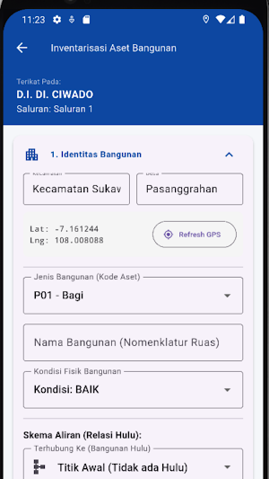
Irrigation Area Survey (DI): Makes it easier for surveyors to record the physical condition and performance of irrigation networks directly from the field, complete with GPS coordinates.
DI Master Data: Access a complete Irrigation Area database.
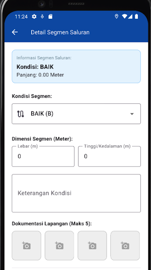
Channel Data: Detailed information on irrigation channel assets, including channel length, condition, and dimensions.
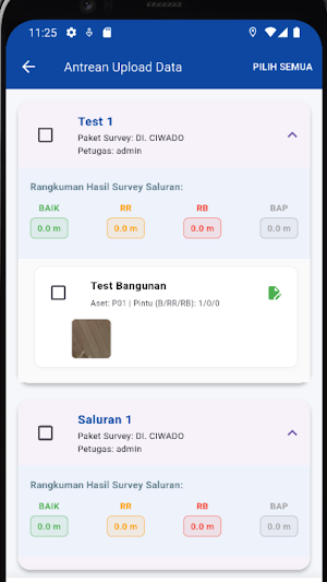
Sync History: Ensures data captured offline can be securely synchronized to the central server upon reconnection to the internet.
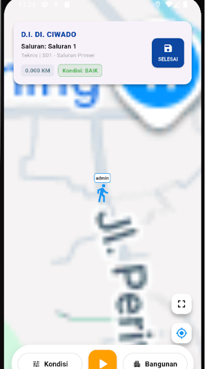
GIS Visualization: Digital map integration to facilitate identification of asset locations and irrigation network distribution.
With SIRIGASI, irrigation management is now more transparent, accountable, and integrated into a single information system.
Note: This application is intended for internal surveyor use. A dedicated account is required to log in.
Similar Apps

Foundney
The ultimate tool for finding lost items and pets! Combining community support and instant notifications, it helps you quickly reunite with your beloved belongings.

Supanator: Supabase Manager
Manage Supabase on the go: SQL, data, realtime monitoring, and AI help.

MagicFrame: MTG Scanner
Scan MTG cards, check prices, and track your Magic card collection

Secure App Locker
Build your first line of defense for privacy.

AulasQR-UTS
Easily check classroom availability at UTS with a scan.

Indi Photo Editor
Edit your photos with stunning filters, professional organization tools and more
