About RidgeRead: Elk Hunting Maps
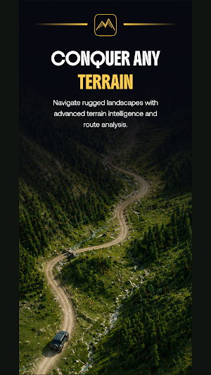
RidgeRead is a hunting map and GPS terrain app for Western hunters who want to scout, plan, and navigate with real confidence miles from cell service.
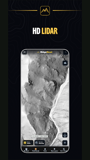
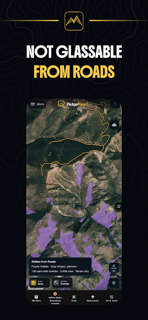
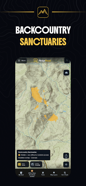
Read the country before you hunt it. Detailed topo, satellite, and hybrid maps, downloadable offline areas, public-land and hunt-unit overlays, and elk-focused terrain analysis help you find access, cover, and likely animal movement.
Built for the field:
- Offline map areas that work with zero signal
- Interactive topo, satellite, hybrid, and historical satellite layers
- Public land and hunt unit boundaries
- Saved waypoints, pins, and live track recording
- Distance and terrain measurement tools
- Slope, aspect, and elevation analysis for reading drainages and benches
- Trail, motorized road, and road-density layers
- Historic fire and timber-cut layers
- Elk migration corridor context where available
- AI-assisted points of interest for likely elk-use terrain
- Privacy Mode keeps your scouting data local on your device
- Guide articles and elk hunting knowledge resources
RidgeRead puts a practical map, a sharper scouting workflow, and terrain-first decision support in one place.
Always verify land ownership, regulations, access rules, closures, and season information with official agency sources before hunting.
Terms of Use (EULA): https://www.ridgeread.com/terms
Privacy Policy: https://www.ridgeread.com/privacy
Similar Apps

Vantix Law
Take control of your Vantix Law program wherever you are.

HopSkipDrive
Safe, reliable rides for kids age 6+

Brandon Blackwood
Handbags & Accessories

Tyfoom | Engagement Platform
Engagement Platform for Employee Communication and Training

Bully Bunches US
Bully Sticks & Natural Treats

BaseMap: 3D Hunting Maps & GPS
3D Maps, Offline 3D, Location Sharing, Public & Private land, weather, wind, GPS
