About Geolantis NEO
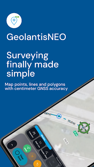
Geolantis NEO is the mobile solution for high-precision utility mapping and field data capture.
CORE FEATURES
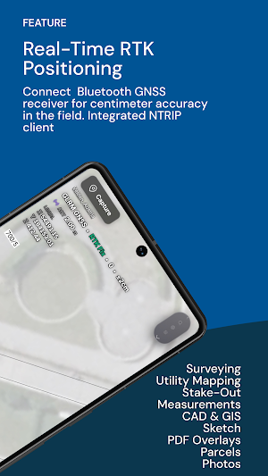
• Real-time GNSS/RTK positioning with centimetre accuracy
• Capture utilities and infrastructure directly on site
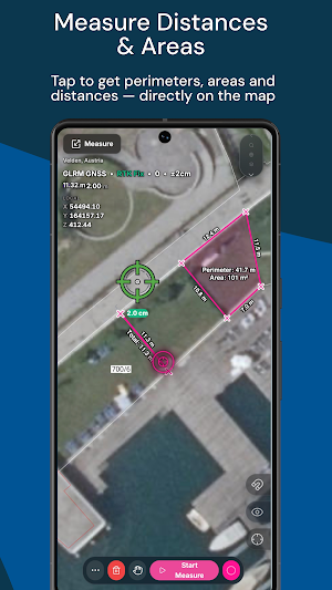
• Record points, lines, and areas with full attributes
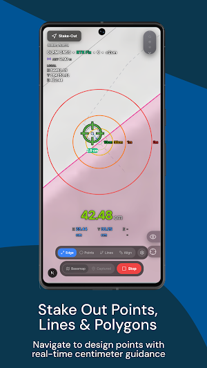
• Stakeout navigation to planned coordinates
• Attach sketches and photos to survey points
• Works offline — data syncs automatically
PRECISION YOU CAN RELY ON
• Support for external GNSS receivers via Bluetooth
• NTRIP correction data for RTK fixed solutions
• Fix type, HDOP, and accuracy always visible
• Coordinate transformations and national grid systems
FIELD AND OFFICE TEAMWORK
• Manage projects, layers, and feature classes centrally
• Real-time sync between field and office
• Role-based access control per organisation
• Web dashboard for project management and data export
BUILT FOR THE FIELD
• Large touch targets for gloved operation
• Optimised for direct sunlight
• One-handed use on a survey pole
• Minimal battery consumption for all-day use
USE CASES
• Utility mapping and network documentation
• As-built surveys and asset capture
• Construction stakeout and site surveys
• GIS data collection in the field
Geolantis NEO is developed by PelicanCorp — over 20 years of leadership in utility location and infrastructure management.
Similar Apps

USA North - CA
Allows excavators to submit locate request tickets directly from their phones.

USA North - NV
Allows excavators to submit locate request tickets directly from their phones.

TicketAccess
Ticket Access is an all-in-one solution for managing locate requests

Geolantis.360
Integrated field data collection for asset inspection & assessment with GPS/GIS

Geolantis.360 Enterprise
Enterprise field data collection with smart forms, workflows and GPS, CAD & GIS
Klic Unlimited
The integral solution to digitally access your KLIC data.
