About SurvAI
SurvAI —AI-Powered Tamper-Proof Digital Crop Survey Platform
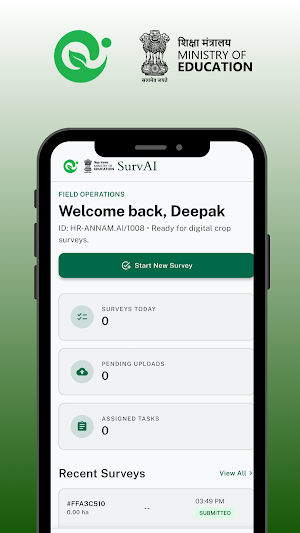
Developed by ANNAM.AI (Centre of Excellence in AI for Agriculture, IIT Ropar, Ministry of Education, Government of India), SurvAI empowers field surveyors to conduct transparent, corruption-free digital crop surveys with cutting-edge AI technology.
KEY FEATURES:
GPS-Sealed Field Boundary Mapping
Map agricultural fields with precision using two modes — Tap (manual point placement) or Walk (automatic GPS trail recording). Every coordinate is locked with satellite-grade accuracy.
AI-Powered Crop Identification
Capture crop photos and let our AI instantly identify the crop type, health status, and growth stage. Multi-image majority voting ensures accuracy even in challenging field conditions.
Tamper-Proof Data Integrity
Every survey is sealed with SHA-256 cryptographic hashing covering farmer identity, land records, GPS coordinates, photo evidence, and timestamps. Any alteration is instantly detectable.
Farmer OTP Verification
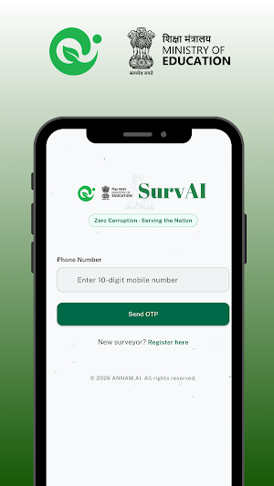
Mandatory mobile OTP verification ensures the farmer is physically present during the survey — eliminating proxy surveys and fraud.
Complete Farmer KYC & Land Records
Capture comprehensive data including Aadhaar verification, Parivar Pehchaan Patra, Khasra/Khewat/Khatauni numbers, village, tehsil, district, registered area, and MFMB integration.
Offline-First Architecture
Works without internet in remote rural areas. All data is stored locally and automatically syncs when connectivity is restored. Never lose a survey due to poor network.
Photo Evidence with GPS & Compass
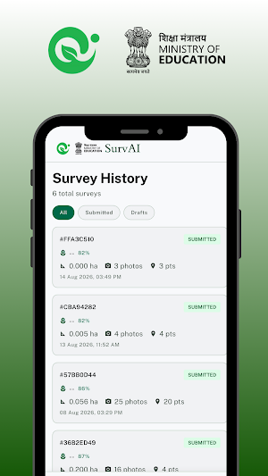
Every photo is tagged with exact GPS coordinates, compass heading, and timestamp — creating an unbreakable chain of evidence for each surveyed field.
Bilingual Support
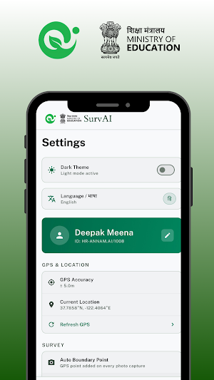
Full English and Hindi interface for surveyors across India.
Real-Time Area Calculation
Precise field area computation using WGS84 spherical geometry with perimeter measurement.
WHO IS IT FOR:
• Government field surveyors
• Agricultural department officers
• Crop insurance verification teams
• District-level agricultural coordinators
• MFMB (Meri Fasal Mera Byora) verification staff
MISSION:
Zero Corruption — Serving the Nation. SurvAI ensures every crop survey is backed by GPS-locked, AI-verified, cryptographically sealed evidence that cannot be manipulated.
SECURITY:
• End-to-end encryption (HTTPS/TLS)
• Secure AWS cloud infrastructure
• Device-level audit trail
• SHA-256 integrity verification
Built with the vision of providing free, real-time agricultural intelligence to every farmer in India.
© 2026 ANNAM.AI | IIT Ropar | Ministry of Education | Government of India
SurvAI details
SurvAI is a free Education app for Android with 0+ installs on Google Play. It was released on September 22, 2026 and last updated on September 25, 2026. It's developed by Annam.Ai Foundation. It requires Android 7.0 or later.
- Category
- Education
- Installs
- 0+
- Price
- Free
- In-app purchases
- No
- Ads
- No ads
- Current version
- 1.0.6
- Requires Android
- 7.0
- Content rating
- Everyone
- Released
- September 22, 2026
- Last updated
- September 25, 2026
- Developer
- Annam.Ai Foundation
