AltitudeTrail GPS Altimeter
Track GPS altitude, elevation trends, coordinates, trips, and saved points.
About AltitudeTrail GPS Altimeter
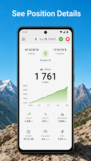
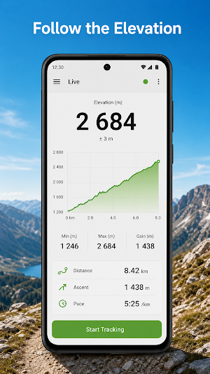
AltitudeTrail GPS Altimeter gives hikers, cyclists, skiers, and outdoor explorers a clear view of current elevation and useful trail context. Track altitude in the foreground, follow recent changes on a live graph, and keep selected points or trip summaries on your device.
LIVE GPS ALTIMETER
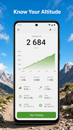
• Read altitude above mean sea level in meters or feet
• View Android-reported vertical accuracy when available
• Follow a rolling elevation chart with session low and high values
• See decimal-degree coordinates, speed, movement bearing, and signal source
• Check pressure readings on devices with a barometer
GPS AND OPTIONAL BAROMETER
AltitudeTrail uses native Android location updates for GPS altitude. If your phone includes a pressure sensor, the app can use barometric changes and align them with GPS when both sources are available. You can enter current local sea-level pressure to improve pressure-derived estimates.
FOREGROUND TRIP RECORDING
Start tracking to record accepted samples while the app remains in the foreground. Stop when finished to save duration, lowest and highest altitude, measured gain and loss, measured distance, and sample count. Tracking stops when the app leaves the foreground; no background location is requested.
SAVE USEFUL POINTS
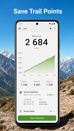
Capture a current altitude point with its timestamp, coordinates, and accuracy. Review saved points later, add your own landmark note, and share a plain-text summary when you choose. Trip summaries and points remain in local app storage until you clear them.
HONEST ACCURACY LIMITS
GPS altitude is an estimate and can vary with satellite geometry, buildings, terrain, dense trees, weather, and device hardware. Vertical accuracy is often weaker than horizontal accuracy. Barometric altitude also changes with weather pressure and calibration. AltitudeTrail is not designed for aviation, rescue, surveying, or other safety-critical navigation decisions.
A usable Android location provider is required for real GPS tracking. Barometer support is optional. Core measurement features do not require an account or an app backend.
Advertising may appear to support continued development without changing the core altimeter workflow.
