Geoportal Ukur
Geoportal Ukur mobile app offers Geoportal Ukur and Survey Products & Services

About Geoportal Ukur
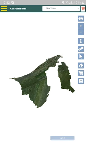
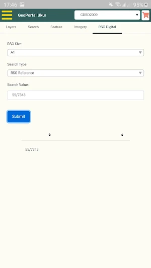
Geoportal Ukur is developed for Survey Department of Brunei Darussalam. It is an application where public and registered users can view and search Geographical Information
Basic Features:
1. Able to view and overlay with satellite imagery and orthophotos (in GDBD 2009 projection) at a resolution of 50cm from Survey Department
2. Able to view and overlay with Open Street Map (in GDBD 2009 projection) and Open Street Map (in WGS 84 projection)
3. Able to view and search for surveyed Cadastral Information of Lots, Temporary Occupation License (TOLs) and Gazettes at a scale of 1:1000 to 1:9999
4. Able to view subdivided or consolidated surveyed lots which have not been registered with Lands Department
5. Able to view Places of Interests, Control Points, Road, Districts, Mukim and Kampung Names
6. Able to purchase Survey Products such as Certified Plans and Survey Sheets
7. Able to view Town and Country Planning (TCP) Department’s National Land Use Master Plan and District Plan
Additional Features for registered user
1. Able to view and overlay with orthophotos at a resolution of 19cm from Survey Department
2. Able to view and overlay with Google Map
3. Able to view Brunei Exclusive Economic Zone (EEZ) and Territorial Waters
4. Able to view contours at 2m and 10m intervals
5. Able to view Land Department’s unsurvey TOLs and JKR points
Similar Apps

Hamuga iMap (beta)
National Geographic Information System

coop mob
Easy, fast and safe.

EmCom Viewer
View the location of your trackers and assets on your mobile phone.

FleetEdge
Your fleet, live and visible – stay informed from anywhere, anytime.

Time2Plug
Personalised and Turnkey EV Charing Solutions

MyFleetvigil
Track your fleet from your mobile with GPS Vehicle Tracking System.